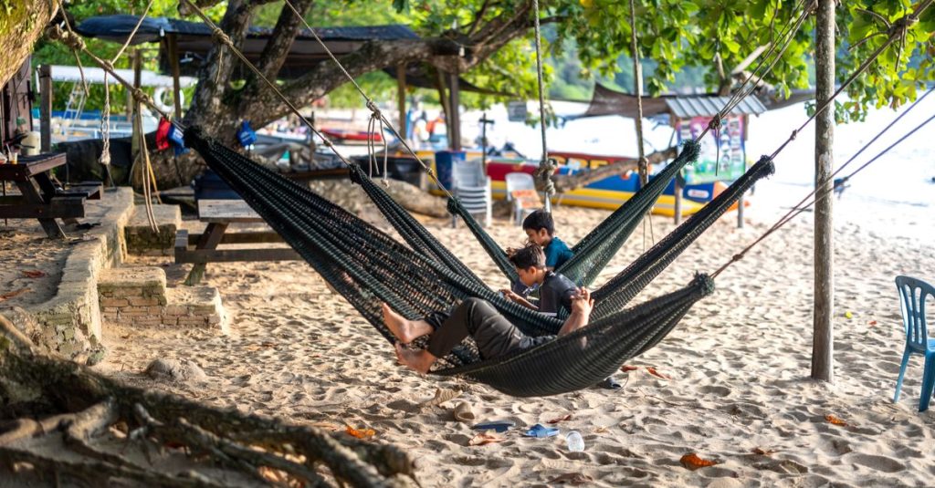
Pangkor Island: Beaches, Access and Things to Do
Discover Pangkor Island, from its beaches and fishing villages to ferry access, activities and practical tips for planning your stay.
Published on
Malaysia is located in Southeast Asia, south of Thailand and close to the Equator. Its territory comprises a mainland section on the Malay Peninsula and an insular section in the north of the island of Borneo. These two areas are separated by the South China Sea. Kuala Lumpur, the capital, is located on the peninsula, while the states of Sabah and Sarawak occupy most of Malaysian Borneo.
This layout explains why a map centred only on Kuala Lumpur does not show the whole country. It also helps explain Malaysia’s relationship with its neighbours: Thailand borders the peninsula to the north, Singapore lies at its southern tip, and Indonesia and Brunei share Borneo with the federation. When planning a trip or a move, the first point of reference is therefore to distinguish Peninsular Malaysia from East Malaysia, then locate the cities, coastlines and borders within the correct area.
In brief
To locate the country on a geographical map, first look for the Asian continent, then its south-eastern part. Follow Thailand southwards: the territory extending down the peninsula towards Singapore is Peninsular Malaysia. Further east, across the sea, another part of the same country appears on Borneo.
This position places the federation at the meeting point of mainland Asia and the Indonesian island world. It therefore belongs exclusively to neither one nor the other. Its geography combines continental borders, busy maritime coastlines and island territories with tropical landscapes.
The Malay Peninsula is a geographical area larger than the Malaysian territory occupying it. Its northern extension belongs partly to Thailand. The name of the continental landform must therefore be distinguished from the name of the country: their boundaries do not coincide.
On its Malaysian side, the western coast faces the Strait of Malacca and the Indonesian island of Sumatra. The eastern coast opens onto the South China Sea. This difference in orientation makes it easier to locate destinations often grouped together in brochures, but exposed to different maritime and weather conditions.
Langkawi and Penang are on the western side, while the Perhentian Islands, Redang and Tioman lie off the eastern coast. Kuala Lumpur is inland, in the western part of the peninsula. The capital is therefore not a coastal resort, even though it is connected to the western seaboard.
East Malaysia comprises the states of Sabah and Sarawak, as well as the island federal territory of Labuan. Sabah occupies the north-east of the Malaysian part of Borneo; Sarawak extends further west, along the island’s northern coast.
Borneo is not a country. It is an island shared by several sovereign states, which explains the presence of international borders in the middle of large forested areas. On a regional map, do not confuse Borneo with Bali either: Bali is a different island belonging to Indonesia.
| Area | Location | Useful reference points |
|---|---|---|
| Peninsular Malaysia | South of Thailand | Kuala Lumpur, Penang, Malacca, Johor Bahru |
| Sarawak | North-western Borneo | Kuching, Miri, coastline on the South China Sea |
| Sabah | North-eastern Borneo | Kota Kinabalu, Sandakan, Tawau |
| Labuan | Off Borneo | Island federal territory near Sabah and Brunei |
When reading a tourist map, check whether it represents the whole country or only the peninsula. A map with inset boxes may bring the territories artificially closer together to make it easier to read. The essential reference point remains the sea separating the western peninsula from eastern Borneo: this determines how to understand the borders and travel arrangements.
Thailand, Indonesia and Brunei share land borders with Malaysia. Singapore is also an immediate neighbour, but a stretch of sea separates its main island from the peninsular territory. This distinction is useful: a country’s proximity, a road connection and a natural land border do not describe exactly the same situation.
The Thai border lies north of the peninsular section. It marks the passage between territories belonging to different countries but forming part of the same continental extension. On a road map, it appears above Malaysia’s northern states, particularly Kedah, Perlis, Perak and Kelantan.
This geographical continuity makes cross-border travel by land possible. It does not mean, however, that all routes have the same traffic or safety conditions. Before travelling across the border, consult the recommendations of the French Ministry for Europe and Foreign Affairs and check access conditions with the relevant border authorities.
At the southern tip, Johor Bahru faces Singapore. The Johor Strait separates the territories, despite the infrastructure allowing it to be crossed by road. Singapore is an independent state: travelling from one to the other is an international journey, not a trip between districts of the same urban area.
The proximity explains the economic exchanges and frequent travel in this border area. For visitors, it can nevertheless create a misleading impression of simplicity: map distance does not indicate how long border checks will take. Requirements should be checked with the official immigration services.
Indonesia occupies the southern part and much of the interior of Borneo, generally known as Kalimantan. Its border with Malaysian territory crosses mountainous and forested areas. A clearly marked boundary on an atlas does not therefore necessarily correspond to an accessible road.
The sultanate of Brunei lies on the northern coast of the island. Its land territories are surrounded by Sarawak, while its coastline faces the South China Sea. On a general map, its size may make it easy to overlook, but its presence matters when understanding certain routes in northern Borneo.
Depending on the route, travelling by road in this region may involve international crossings. Examine the actual route rather than inferring the formalities from the departure and arrival cities alone. An air route and a land route between similar destinations may therefore involve different administrative requirements.
To the west of the peninsula, Sumatra belongs to Indonesia and lies on the other side of the Strait of Malacca. North-east of Sabah, the Philippines are another regional maritime neighbour. They do not share a land border with the federation.
Despite its name, the South China Sea does not mean that China directly borders Malaysian territory. It is a vast maritime area shared across the region. To identify bordering countries, follow the land boundaries; to understand trade and travel routes, also look at the straits and coastlines.
Kuala Lumpur lies in western Peninsular Malaysia. The capital belongs to a broad metropolitan area, the Klang Valley, which also includes cities and urban areas in the state of Selangor. On a map, administrative boundaries and the continuity of built-up areas do not therefore necessarily overlap.
Kuala Lumpur remains the national capital and is home to Parliament, among other institutions. Putrajaya, further south, is the federal administrative centre and houses many ministries. Describing it as simply a district of the capital would be inaccurate: it is a separate federal territory.
This distinction matters when arranging an administrative appointment or planning a move. An address in Putrajaya, Kuala Lumpur or Petaling Jaya does not refer to the same area, even though these places belong to a highly connected regional space. The name of the urban area used in everyday speech may be broader than its official boundaries.
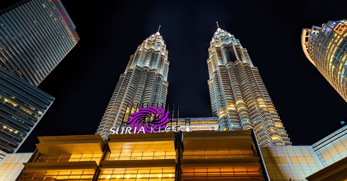
The Petronas Towers and Merdeka Square provide useful reference points for exploring the centre, but they are not enough to understand the whole metropolitan area. To organise visits by neighbourhood rather than making unnecessary journeys across the city, see the guide to things to do in Kuala Lumpur.
In the north-west, George Town is located on Penang Island. The name Penang also refers to a state that includes a mainland section, so do not assume that every address bearing this name is on the island. This distinction is useful when choosing accommodation or understanding a journey from a railway station.
Further south, Ipoh lies inland in the state of Perak. Malacca is on the western coast, south of the capital region. Its historic centre reflects the former importance of maritime trade, with traces of Portuguese, Dutch and British presence.
Johor Bahru occupies the southern tip of the peninsula, facing Singapore. On the east coast, Kuantan, Kuala Terengganu and Kota Bharu are other urban reference points. This coastline should not be reduced to its tourist islands: it has its own cities, ports and communities.
On Borneo, Kuching is the capital of Sarawak and Kota Kinabalu is the capital of Sabah. They serve as bases for exploring their respective regions, but they are not interchangeable. Choosing one rather than the other changes the natural areas and routes accessible during the stay.
Sandakan and Tawau are in eastern Sabah, while Miri is in northern Sarawak. These names often appear in flight searches or nature-focused itineraries. Locating them on the map helps avoid booking an arrival point far from the area you actually want to visit.
Cultural diversity also varies from region to region: alongside the Malay, Chinese and Indian heritage of the peninsula, Borneo is home to Iban, Bidayuh and Kadazan-Dusun cultures, among others. Malaysian cuisine provides a practical way to observe these differences, from nasi lemak to regional variations of laksa. When choosing a base, start with the region you want to explore, then select the most suitable city.
Its position near the Equator creates a hot and humid climate, but the landscapes are not uniform. Coastal plains, mountain ranges, valleys and forested uplands create different environments. Altitude and exposure to the winds also change the conditions experienced locally.
The Strait of Malacca borders much of the western peninsular coast. It separates the peninsula from Sumatra and is a major shipping route between the Indian Ocean and the seas of East Asia. The location of ports such as Port Klang is partly explained by this maritime access.
By contrast, the eastern coast opens onto the South China Sea. The islands along this coast are more exposed to conditions associated with the north-east monsoon. Their accessibility cannot therefore be judged solely by their distance from the mainland: sea conditions and the organisation of crossings also matter.
Langkawi lies in the Andaman Sea area, in the north-west. In Borneo, Sabah’s coastline faces several maritime areas, including the Sulu and Celebes Seas. Simply referring to “Malaysian beaches” therefore conceals very different geographical settings.
In the peninsula, the central mountain range shapes travel between the western and eastern coasts. The Cameron Highlands offer a landscape of uplands, plantations and agriculture, with conditions generally cooler than in the lowlands. A mountain road cannot be travelled in the same way as a flat route, even if the map suggests a similar distance.
In Sabah, Mount Kinabalu is a major geographical landmark. Its park is associated with a great variety of environments, particularly because of changes in altitude. However, not all of Borneo’s natural areas should be treated as the same: lowland forests, wetlands and mountain environments support different groups of species.
For orangutan sightings, lowland forest areas and specialised centres involve a different approach from exploring the Kinabalu massif. The known presence of an animal in a region never guarantees a sighting during an excursion. Wildlife moves around and remains subject to environmental conditions.
The same caution applies to plants: the rafflesia in Malaysia attracts visitors, but it does not flower continuously. Its inclusion in a tourist programme should not be interpreted as a promise that an open flower will be visible.
A forecast for Kuala Lumpur does not accurately describe an island off Terengganu or a mountain range in Sabah. The regional climate provides a general trend, while local weather determines the practical conditions for a crossing, hike or boat trip.
Consult the guide to Malaysia’s climate by region, then check forecasts and alerts with MET Malaysia before activities affected by conditions. When choosing a destination, always combine its position on the map with its altitude and maritime exposure.
The first practical decision is whether to choose a peninsular stay, a Borneo stay or a combined itinerary. This is not simply a matter of selecting attractions. It determines the transport modes, useful airports, number of accommodation changes and time available for travelling.
On the peninsula, a route linking Kuala Lumpur, Ipoh and Penang follows a different logic from a stay focused on the islands off the east coast. Adding the Perhentian Islands to a western circuit means crossing the interior or arranging a flight, then reaching a jetty. The apparent proximity of destinations on a small map can hide these stages.
To explore Sabah or Sarawak from the capital, flying is generally the practical solution. There is no continuous road connection between the peninsula and Borneo. Trying to organise the whole trip as a single road journey therefore underestimates the country’s central geographical divide.
Within Borneo, the existence of a road is not enough to predict how long a journey will take either. The terrain, route, traffic conditions and distance from urban centres all influence the trip. The guide to transport in Malaysia helps compare options by region.
Check routes, timetables and operating conditions with the relevant transport providers and terminal operators. This information changes, particularly for sea crossings affected by weather conditions. A connection mentioned in an old itinerary is not a guarantee that it is still available.
Travel to Singapore, Thailand, Brunei or Indonesia crosses an international border. You must therefore check the requirements of the destination country, without assuming that admission to Malaysia also applies to its neighbours. The fact that a journey continues by coach does not change the administrative nature of the crossing.
For Sabah and Sarawak, also check the entry procedures applicable to your situation with the Immigration Department of Malaysia and the relevant authorities. The guide to Malaysian formalities for French citizens helps French passport holders prepare the points to verify. Official requirements should be checked again before departure, and rules differ by nationality.
The location of your home affects daily travel just as much as its facilities. In the Klang Valley, an address near a station suited to your commute may be more practical than accommodation that appears nearby on the map but has poor connections. In Borneo, access to services depends heavily on the city and the distance from urban centres.
For a long-term move, consider the employment area, schools, transport and healthcare options together. Health insurance for expats in Malaysia should in particular be assessed according to the accessible healthcare facilities and contractual benefits, not simply the name of the country covered.
The cost of living in Malaysia must also be considered locally: neighbourhood, transport and type of accommodation all affect the budget. Ultimately, the most useful map is the one connecting your home to the services and destinations you actually use.
Malaysia is in Asia, in the region known as Southeast Asia. Its territory combines a section on the Malay Peninsula with an insular section in northern Borneo.
Thailand borders the peninsular section. Indonesia and Brunei share land borders with the section located on Borneo. Singapore is separated from the peninsula by the Johor Strait, crossed by road links.
No. Kuala Lumpur is in western Peninsular Malaysia. The main cities in the Malaysian part of Borneo include Kuching, Kota Kinabalu, Miri and Sandakan.
No. The island of Borneo is shared by Malaysia, Indonesia and Brunei. The Malaysian states of Sabah and Sarawak are in its northern part.
The South China Sea separates Peninsular Malaysia from the Malaysian territories on Borneo. For a tourist journey between these areas, travel is generally by air.
Discover Pangkor Island, from its beaches and fishing villages to ferry access, activities and practical tips for planning your stay.
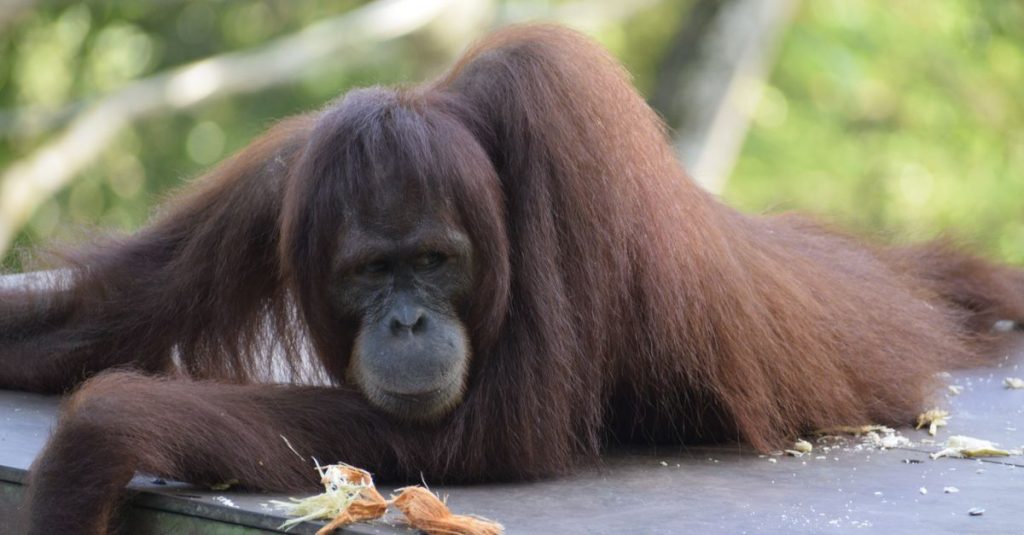
Discover Sepilok in Borneo and observe orangutans in the rainforest, while learning about rehabilitation and wildlife conservation.
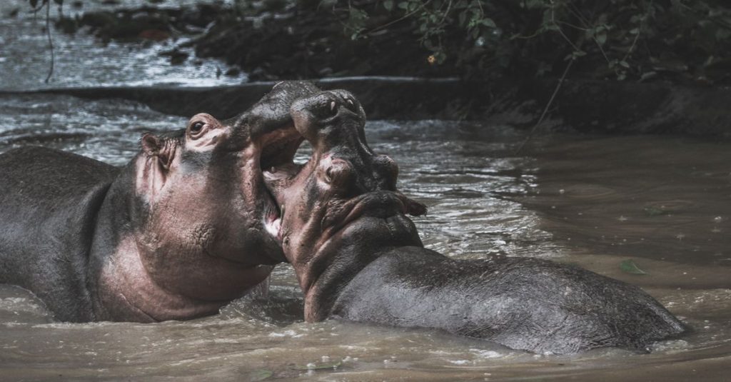
Explore the Kinabatangan River in Borneo with boat safaris, proboscis monkeys, orangutans, pygmy elephants and rainforest wildlife.
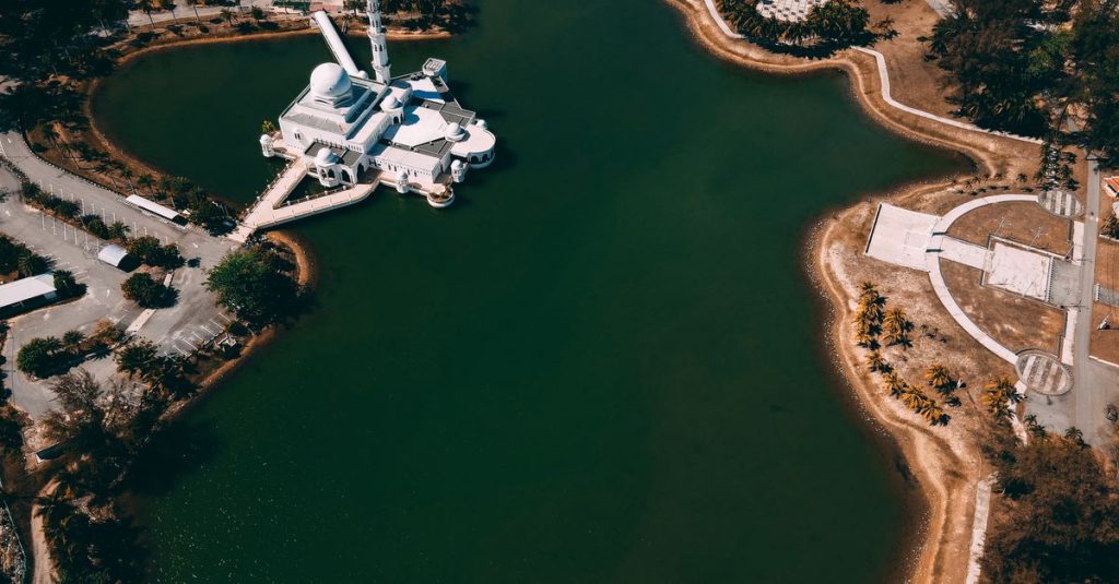
Discover Malaysia itineraries for 10 days, 2 or 3 weeks, with essential stops and practical advice for organising your trip.

Discover roti canai, Malaysia’s flaky, crisp breakfast flatbread, served with curry or dhal and enjoyed at mamak restaurants or home.
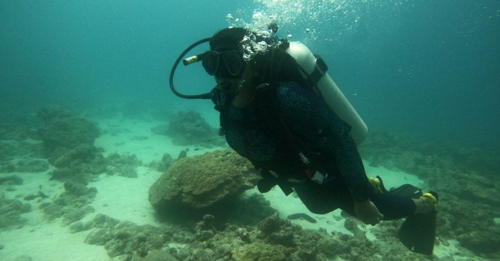
Discover Sipadan, Borneo’s legendary island: diving permits, the best season and practical advice for planning your underwater adventure.
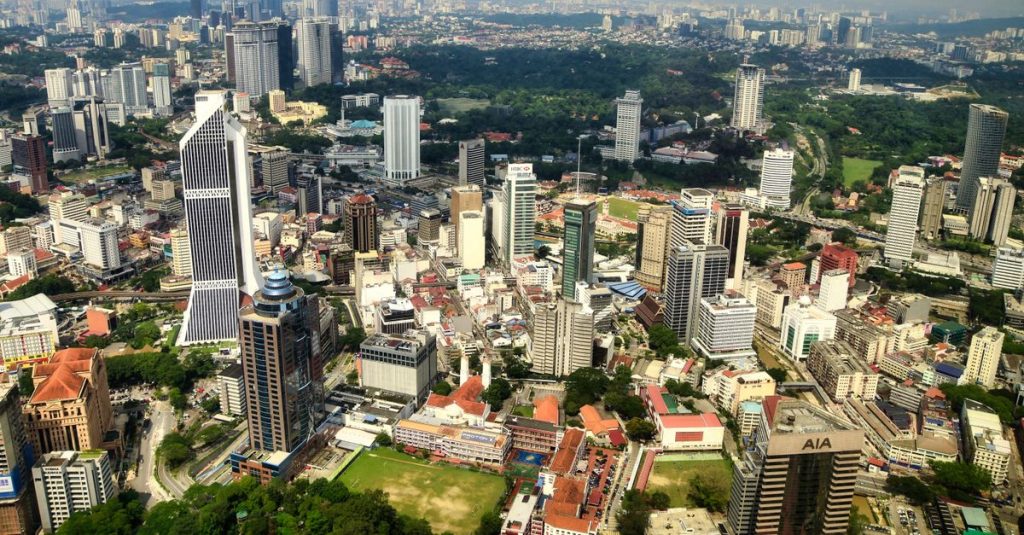
Discover Malaysia’s population, ethnic diversity and main religions, and understand the differences between citizens, residents and communities.

Experience the Malaysia MotoGP Grand Prix at Sepang: practical advice on tickets, access, accommodation and making the most of race day.
Scroll to see more articles →