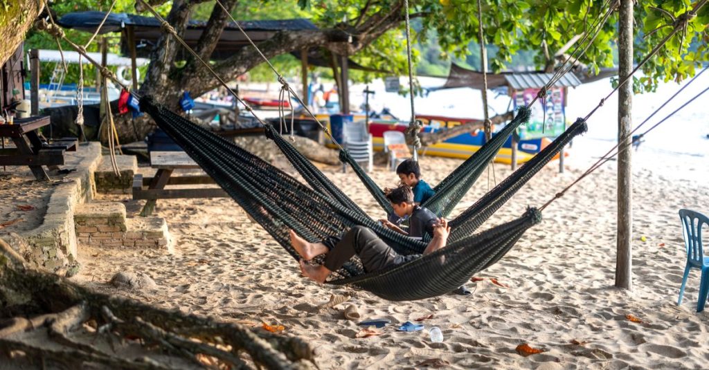
Pangkor Island: Beaches, Access and Things to Do
Discover Pangkor Island, from its beaches and fishing villages to ferry access, activities and practical tips for planning your stay.
Published on
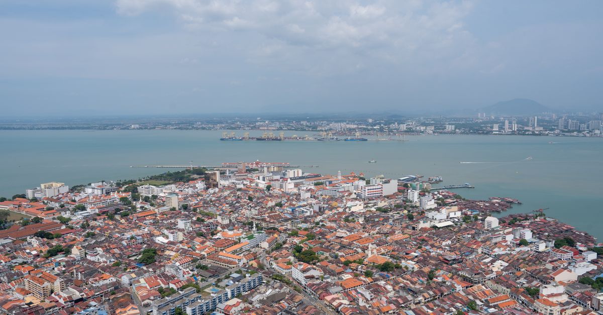
The Strait of Malacca lies in Southeast Asia, between the Malay Peninsula and the Indonesian island of Sumatra. It stretches from the Andaman Sea in the north-west towards the Singapore Strait in the south-east. Malaysia and Indonesia form its main shores; Thailand borders its northern entrance, while Singapore controls its eastern outlet. This passage matters because it links the routes of the Indian Ocean with those of East Asia, particularly for goods and oil.
On a map, this waterway looks like a corridor that gradually narrows. In reality, it brings together industrial ports, historic trading cities and tourist coastlines. Understanding its geography also makes it easier to locate Malacca, Penang and Langkawi when travelling in Malaysia.
To locate this passage on a world map, first look for Sumatra, west of the Malay Peninsula. The stretch of sea separating them follows a general north-west–south-east direction: the Andaman Sea marks its western opening, while the Singapore Strait extends the route towards the South China Sea.
This distinction avoids a common misunderstanding: the Strait of Malacca does not open directly onto the Pacific Ocean. It forms part of a chain of seas and passages linking the Indian and Pacific basins.
| Country | Geographical position | Useful landmarks |
|---|---|---|
| Malaysia | Eastern shore, along the peninsula | Penang, Port Klang, Malacca and Johor |
| Indonesia | Western shore, on the Sumatra side | The coast of Aceh and the island’s eastern shore |
| Thailand | Near the northern opening | Andaman Sea coastline, towards Satun |
| Singapore | At the south-eastern outlet, in the neighbouring passage | A port hub towards the South China Sea |
Singapore is inseparable from the regional maritime system, but the Singapore Strait remains a distinct geographical entity. Similarly, Thailand’s inclusion depends on the perimeter used around the northern entrance: it does not run along the entire navigable waterway.
The passage is broadly open in the north-west and becomes more restricted towards the south-east. Its published length varies according to the geographical boundaries chosen and whether the Singapore passage is included; an isolated measurement without a defined perimeter can therefore be misleading.
For navigators, the distance between the shores is not enough. Shoals, available depth, a ship’s draught and traffic lanes determine the space that can actually be used: the area visible on the map is not entirely a navigable channel.
The Strait of Malacca’s main advantage is that it shortens many routes between the Indian Ocean and East Asia. A ship coming from the Persian Gulf or the Suez Canal can continue towards Chinese, Japanese or Korean ports without sailing around the Indonesian archipelago through more distant passages.
Cargoes are not limited to manufactured goods. Crude oil, refined products, raw materials and containerised goods use this route, linking production areas, refineries and consumer markets.
Part of East Asia’s energy supply arrives along this route. A prolonged disruption could lengthen journeys, require more ships and increase transport costs, even though alternative routes remain possible.
The “Malacca dilemma” refers in particular to China’s vulnerability associated with this concentration of traffic. It does not mean that all Chinese trade passes through the strait: dependence varies according to the goods, their origin and their destination.
Transhipment involves transferring cargo from one vessel to another without it necessarily being intended for the country where the port call takes place. This arrangement explains why a port can handle substantial volumes while serving a relatively small domestic market.
Competition between these platforms focuses on connections, reliability, facilities and services. Their value lies as much in their logistics network as in their position on the route.
The city of Malacca gave its name to the maritime passage. Its rise under the sultanate was explained by its position between the trading networks of the Indian Ocean and East Asia, as well as by its ability to receive and organise commerce.
Monsoon winds governed sailing voyages. Merchants could wait for a favourable season in the ports, encouraging encounters, the establishment of communities and the circulation of languages, beliefs and commercial practices.
The Portuguese seized the city to establish a foothold on Asian routes and influence the spice trade. The Dutch followed them, and Malacca later came under British administration, while Penang and Singapore gained increasing importance in regional networks.
This succession was not simply a change of flag. Colonial powers reorganised trade according to their interests, other possessions and alliances: possessing Malacca did not automatically give them control over every maritime movement.
Portuguese remains, buildings associated with the Dutch period and the trading quarters make this history legible on foot. Peranakan cultures also bear witness to lasting links between Chinese communities and local societies, beyond the colonial narrative alone.
To explore this dimension further, Bukit China hill in Malacca sheds light on the Chinese community’s roots in the city. The history of the strait can therefore be understood as much through its people and exchanges as through its conquests.
Maritime security covers several distinct risks: attacks on ships, collisions, groundings and pollution. The density of traffic, the presence of fishing boats and navigational constraints require continuous vigilance from crews.
The word “piracy” is often used for every act committed at sea. In legal terms, attacks in territorial waters are more accurately described as armed robbery against ships; this distinction notably determines the authorities’ framework for intervention.
Regional cooperation is based on coordinated patrols, aerial surveillance and information sharing. Coastal states seek to protect trade routes while retaining control over interventions in their maritime areas.
Traffic separation schemes organise shipping movements, while maritime tracking services support navigation. They reduce risks without eliminating the effects of a breakdown, poor visibility or a manoeuvring error.
Reports should always be read together with their location and date. An incident in the Singapore Strait does not automatically describe the situation off Penang; for an updated picture, consult publications from the ReCAAP Information Sharing Centre and the International Maritime Bureau.
An oil spill could also affect mangroves, fishing and coastal activities. Preventing accidents therefore protects both international trade and the resources of coastal communities.
For visitors, alerts concerning cargo ships do not directly translate into the conditions for a walk along the waterfront. The safety of a tourist outing mainly depends on local conditions, the operator and official instructions.
Malacca, Penang, Langkawi and Port Dickson offer different ways of experiencing the coastline. The first two focus on urban heritage, the northern archipelago on island landscapes, and the seaside resort in Negeri Sembilan on direct access to the sea.
In Malacca, the old town shows how a port city developed around trade. The river, merchant houses and historic districts tell this story, even though today’s waterfront and developments no longer exactly match the landscape of the sultanate.
The guide to staying in Malacca can help organise this discovery. It is better to combine heritage with a waterfront walk than to look for a single viewpoint supposedly revealing the whole passage.
In Penang, the historic districts of George Town reveal another port culture: temples, clan houses and jetties bear witness to merchant migrations. Contemporary industrial facilities are distinct from this heritage waterfront.
To extend your visit beyond the old town, consult the activities and sites to discover in Penang. The island thus combines urban history and coastal landscapes without being reduced to watching cargo ships.
Langkawi lies near the northern opening, where it meets the Andaman Sea. Its hills, mangroves and islands offer a way to approach the region’s geography through the landscape; preparing your Langkawi visit helps you choose between boat trips and inland discoveries.
Port Dickson offers a more beach-oriented approach on the west coast. Its appeal lies in the beaches and sea horizon, but whether commercial vessels are visible depends on their route, the weather and the viewing point.
To connect these stops, combine the guide to Malaysia’s regions with the guide to transport in Malaysia. Check timetables and fares with official operators, as well as the weather forecast before any boat trip: a coastal itinerary also needs to be planned from dry land.
It separates Sumatra from the Malay Peninsula in Southeast Asia. It opens onto the Andaman Sea in the north-west and joins the Singapore Strait in the south-east, on the route towards the South China Sea.
Malaysia and Indonesia form its main shores. Thailand lies near its northern opening, while Singapore occupies the south-eastern outlet, in the neighbouring strait that bears its name.
This route shortens many journeys between the Indian Ocean and East Asia. It also provides access to major transhipment and bunkering ports. Some ships use other passages depending on their draught or destination.
Yes, from several parts of the west coast, particularly around Malacca, Penang and Port Dickson. Langkawi offers a view of its northern approaches. Swimming and boating conditions should be checked locally with the relevant authorities and operators.
Discover Pangkor Island, from its beaches and fishing villages to ferry access, activities and practical tips for planning your stay.

Discover Sepilok in Borneo and observe orangutans in the rainforest, while learning about rehabilitation and wildlife conservation.
Explore the Kinabatangan River in Borneo with boat safaris, proboscis monkeys, orangutans, pygmy elephants and rainforest wildlife.
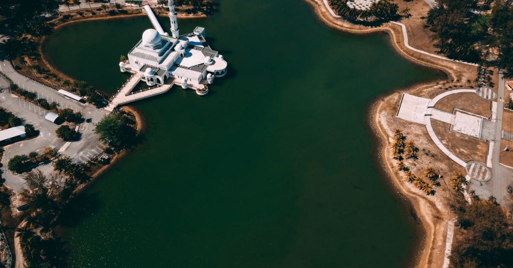
Discover Malaysia itineraries for 10 days, 2 or 3 weeks, with essential stops and practical advice for organising your trip.

Discover roti canai, Malaysia’s flaky, crisp breakfast flatbread, served with curry or dhal and enjoyed at mamak restaurants or home.
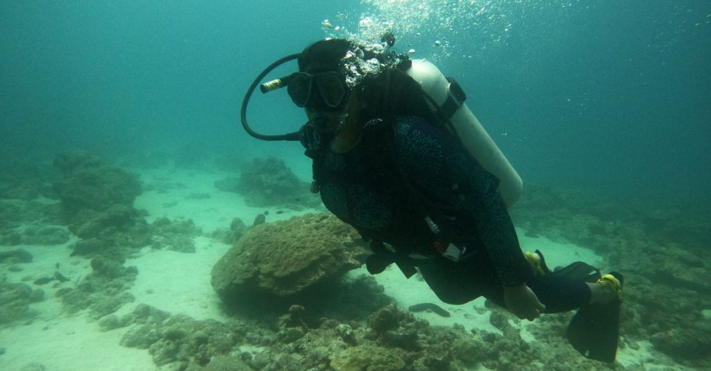
Discover Sipadan, Borneo’s legendary island: diving permits, the best season and practical advice for planning your underwater adventure.
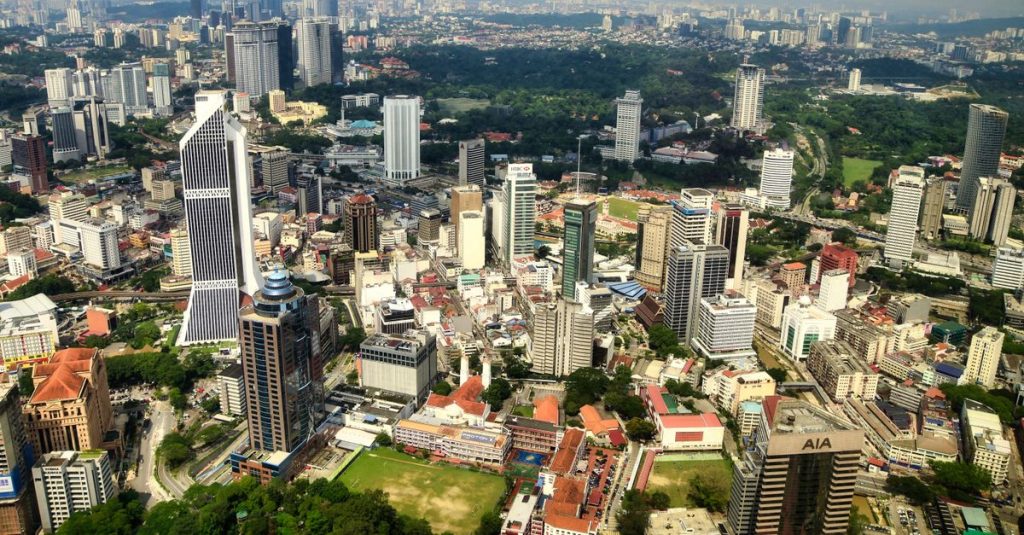
Discover Malaysia’s population, ethnic diversity and main religions, and understand the differences between citizens, residents and communities.

Experience the Malaysia MotoGP Grand Prix at Sepang: practical advice on tickets, access, accommodation and making the most of race day.
Scroll to see more articles →