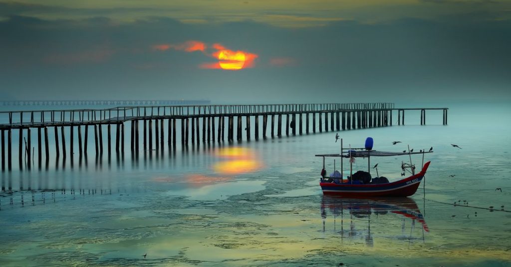
Pulau Ketam: The Fishing Island Near Kuala Lumpur
Discover Pulau Ketam, the fishing island near Kuala Lumpur, with stilt houses, seafood, mangroves and a distinctive coastal village.
Published on
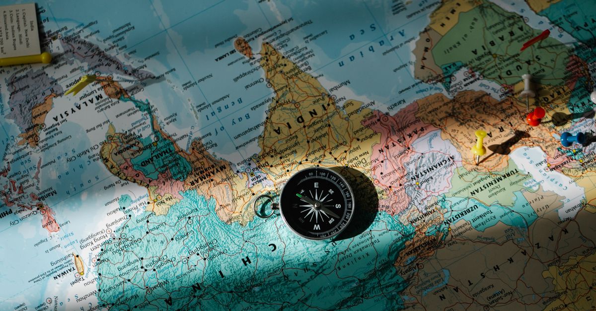
The Malaysia map shows a country made up of two large areas separated by the South China Sea: the Malay Peninsula, south of Thailand, and the states of Sabah and Sarawak, located on the island of Borneo. It also helps identify Malaysia’s 13 states, its three federal territories and its main cities, from Kuala Lumpur to Kuching.
When planning an itinerary, you therefore need to look beyond simple land distances. A journey between two cities on the peninsula is not planned in the same way as a trip between the peninsula and Borneo, which generally involves flying or combining several modes of transport. Geographical landmarks, borders and port cities give the map its full usefulness.

The first thing to understand is the country’s geographical division. West of the South China Sea lies Peninsular Malaysia, home to Kuala Lumpur, George Town, Malacca and Johor Bahru; to the east, on Borneo, lie Sabah and Sarawak.
This layout explains why a small-scale map can be misleading: the two parts may appear close together on a page, but they are not connected by a direct road through the country. To compare the regions and neighbouring countries, also see this map of Malaysia and its borders.
General maps often show the states, federal territories, coastlines and major urban areas. A more detailed map may add roads, airports, islands or terrain; before choosing a document, check its key and level of detail.
The map therefore becomes a tool for understanding the country, rather than simply an illustration: it explains why a national itinerary may require a domestic flight.
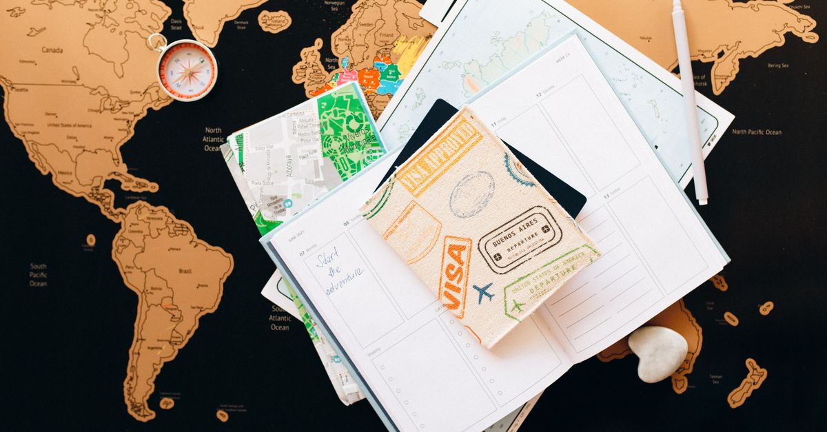
The Malaysian federation comprises thirteen states and three federal territories. On a political map, administrative boundaries help locate the regions, but they do not always correspond to the most useful landmarks for travellers: major cities, roads and airports are often more helpful when planning a route.
The table below classifies the states according to their general location. The cities mentioned serve as geographical reference points; they are not all state capitals. Names may appear in different forms on different maps, including Pulau Pinang or Penang.
| Region | States | Urban landmarks |
|---|---|---|
| Peninsula, north and west coast | Perlis, Kedah, Penang, Perak, Selangor | George Town, Ipoh, Kuala Lumpur and its surrounding area |
| Peninsula, centre and east coast | Kelantan, Terengganu, Pahang | Kota Bharu, Kuala Terengganu, Kuantan |
| Peninsula, south | Negeri Sembilan, Malacca, Johor | Seremban, Malacca, Johor Bahru |
| Borneo | Sabah, Sarawak | Kota Kinabalu, Kuching |
| Federal territories | Kuala Lumpur, Putrajaya, Labuan | National capital, administrative centre, island off Borneo |
A political map is particularly useful for distinguishing Kuala Lumpur from Putrajaya. Both are federal territories, but Kuala Lumpur is the country’s main urban landmark, while Putrajaya hosts federal administrative functions.
Printable maps can be useful for memorising state boundaries or preparing a visit. A blank map is suitable for a locating exercise; to plan a journey, choose a version that also shows roads and cities.
Borneo occupies a special place on the Malaysia map: the island is divided between several territories, and only its Malaysian part includes Sabah and Sarawak. The presence of other borders on the island is a reminder not to confuse the whole of Borneo with Malaysia’s two states.
Kota Kinabalu is a major landmark in Sabah, while Kuching is located in Sarawak. These cities help orientate a regional map, but they do not reflect the full diversity of the territories they represent: inhabited areas, mountain ranges and natural spaces extend far beyond their urban areas. For more detail, see this guide to living in Kota Kinabalu.
Labuan, an island federal territory, lies off the coast of Sabah. On a national map, its size may be difficult to appreciate; a regional map or inset prevents it from being overlooked and helps explain its position in relation to the nearby coasts.
When planning a trip around Borneo, check the map at several scales. A national view helps explain the separation from the peninsula, while a local view is more suitable for locating cities, roads and access points to natural sites.
To get online as soon as you land, a Malaysia eSIM can be installed before you leave, with no need to look for a local SIM card.
Kuala Lumpur is the main reference point for understanding urban Malaysia, but the map reveals several other centres. George Town, on Penang Island, provides access to the north-west of the peninsula; Malacca is another important stop on the west coast, while Johor Bahru lies at the southern tip. If you are staying in the capital, this guide to moving to Kuala Lumpur provides further context.
On Borneo, Kota Kinabalu and Kuching are the first two names to identify when distinguishing Sabah from Sarawak. Putrajaya, meanwhile, appears near Kuala Lumpur but should be identified as a separate federal territory rather than a district of the capital.
To compare stops, a road map is more useful than a simple political map. It shows whether cities are connected by land routes; to travel from the peninsula to Borneo, you should instead examine air links and check transport information with operators. You can also consult this guide to getting around Malaysia.
A simple method is to mark out the main regions first, then add cities and secondary stops. Rainy periods may also influence your choice of regions and dates: check seasonal information, including this guide to Malaysia’s weather by region in August, before finalising your route.
There is no single ideal map for every purpose. A political map is useful for identifying Malaysia’s states; a physical map highlights terrain and coastlines; a tourist map prioritises cities, attractions and transport routes.
Before downloading or printing a map, check that it clearly distinguishes the peninsula from Borneo and names the federal territories. To learn administrative boundaries, a blank map to complete is useful; to build an itinerary, choose a document showing cities and roads instead.
Digital maps allow you to search quickly by city name, but they do not always replace an overview. A printed map allows you to compare regions at a glance, while an interactive map makes it easier to zoom in on a neighbourhood or road.
Finally, a good map should have a clear key and sufficiently precise names. If the borders, cities or scales are difficult to distinguish, change the format: the aim is to understand the relationships between places, not simply to find a name.
The Malaysian federation comprises 13 states and three federal territories: Kuala Lumpur, Putrajaya and Labuan.
The country comprises the Malay Peninsula and the states of Sabah and Sarawak on Borneo, separated by the South China Sea.
Kuala Lumpur, George Town, Johor Bahru and Malacca are important landmarks on the peninsula; Kota Kinabalu and Kuching help locate Sabah and Sarawak.
A tourist or road map is the most practical for planning stops. Check that it distinguishes the country’s two regions, shows the major cities and identifies useful roads or airports.
To book tours and activities in Malaysia ahead, see the options on Klook.
Discover Pulau Ketam, the fishing island near Kuala Lumpur, with stilt houses, seafood, mangroves and a distinctive coastal village.
See fireflies along the Selangor River and silvered leaf monkeys at Bukit Melawati in Kuala Selangor, with practical wildlife tips.
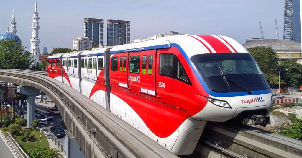
Compare the ETS train and bus from Kuala Lumpur to Ipoh, including journey times, transport options and practical tips for choosing.
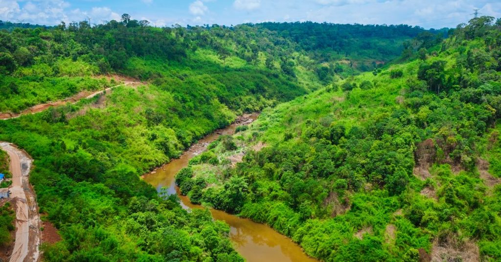
Explore Danum Valley, Borneo’s ancient rainforest, with its remarkable biodiversity, orangutans, guided walks, access details and practical advice.
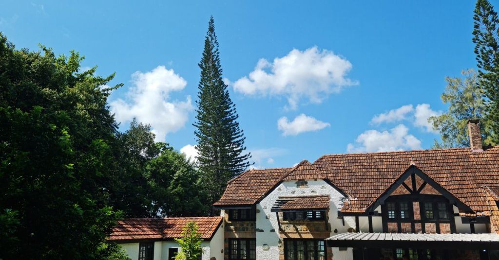
Discover Fraser’s Hill, a peaceful mountain retreat near Kuala Lumpur, with tropical forest, cool weather, hiking trails and birdwatching.
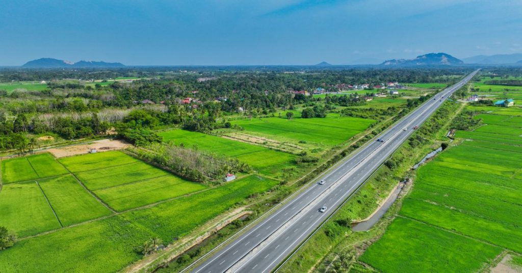
Discover what to do in Kota Bharu and how to reach the Perhentian Islands, with cultural visits, transport options and practical travel tips.
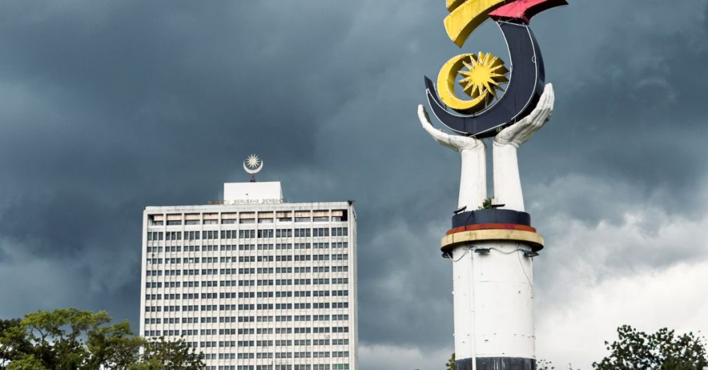
Discover S-MM2H, Sarawak’s long-stay programme: eligibility, benefits, application steps and checks before living in Malaysia.
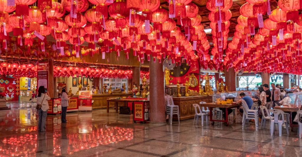
Discover Thean Hou Temple in Kuala Lumpur, with practical advice on visiting, access, transport, opening hours and respectful behaviour.
Scroll to see more articles →